Where it is
National City sits on San Diego Bay between downtown San Diego and Chula Vista, about 5 miles south of downtown and 7 miles north of the Tijuana border crossing. One ZIP code covers most of it: 91950.
National City's cheapest gas today:—See all prices
First time here?
The practical stuff: how to get here, how to get around, what the weather actually does, and what to see if your time is short.
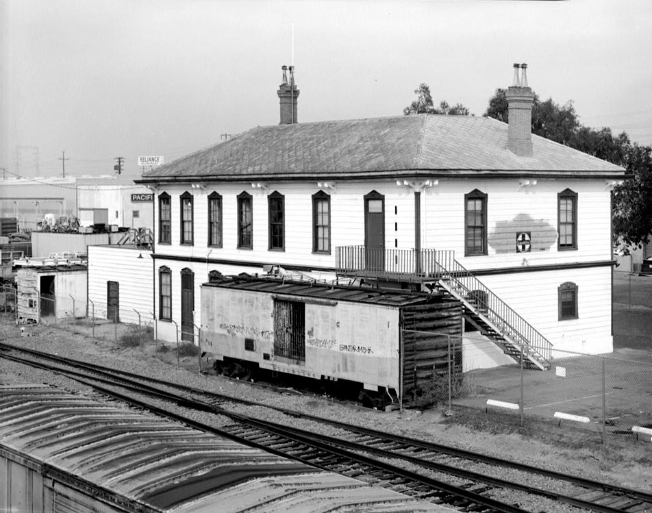
National City sits on San Diego Bay between downtown San Diego and Chula Vista, about 5 miles south of downtown and 7 miles north of the Tijuana border crossing. One ZIP code covers most of it: 91950.
From San Diego International Airport it's about 15 minutes by car via I-5 south. The Blue Line trolley runs through the city with stops at 24th Street and 8th Street — both walkable to Highland Avenue.
A car is easiest, and parking is free and plentiful almost everywhere, including the Mile of Cars and Kimball Park. The Bayshore Bikeway runs along the bayfront for cyclists.
Mild all year: highs in the upper 60s in winter, upper 70s in summer. Mornings near the bay are often overcast until midday — locals call it May Gray and June Gloom.
If you only have two hours: Pepper Park for the bay and port views, then a meal on Highland Avenue. If you have a day, add Kimball Park and a drive down the Mile of Cars.
San Ysidro and Otay Mesa are both a short drive south. Check current wait times before you go — they swing from 20 minutes to well over two hours.